Dundas BRT
- Projects & Programs
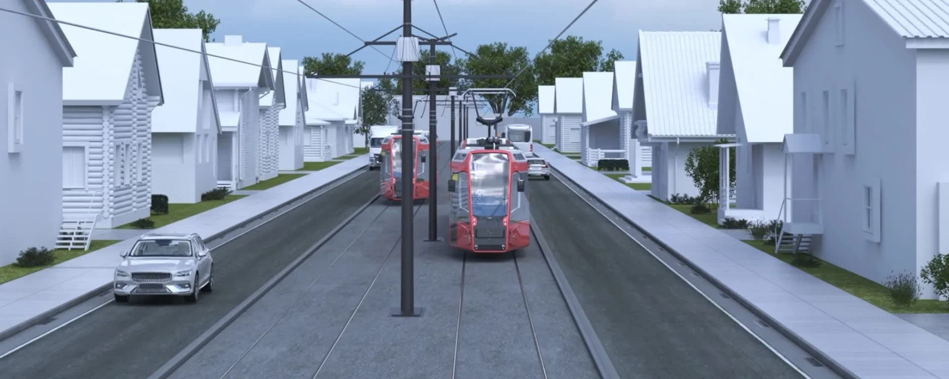
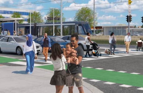
- Dundas BRT
- What We're Building
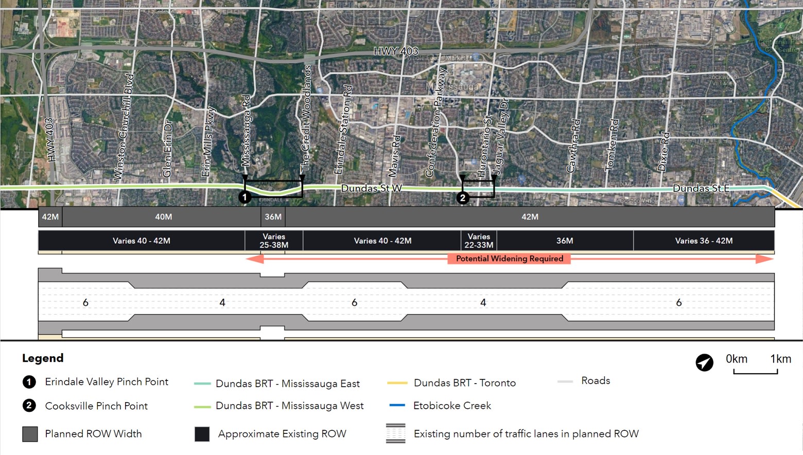
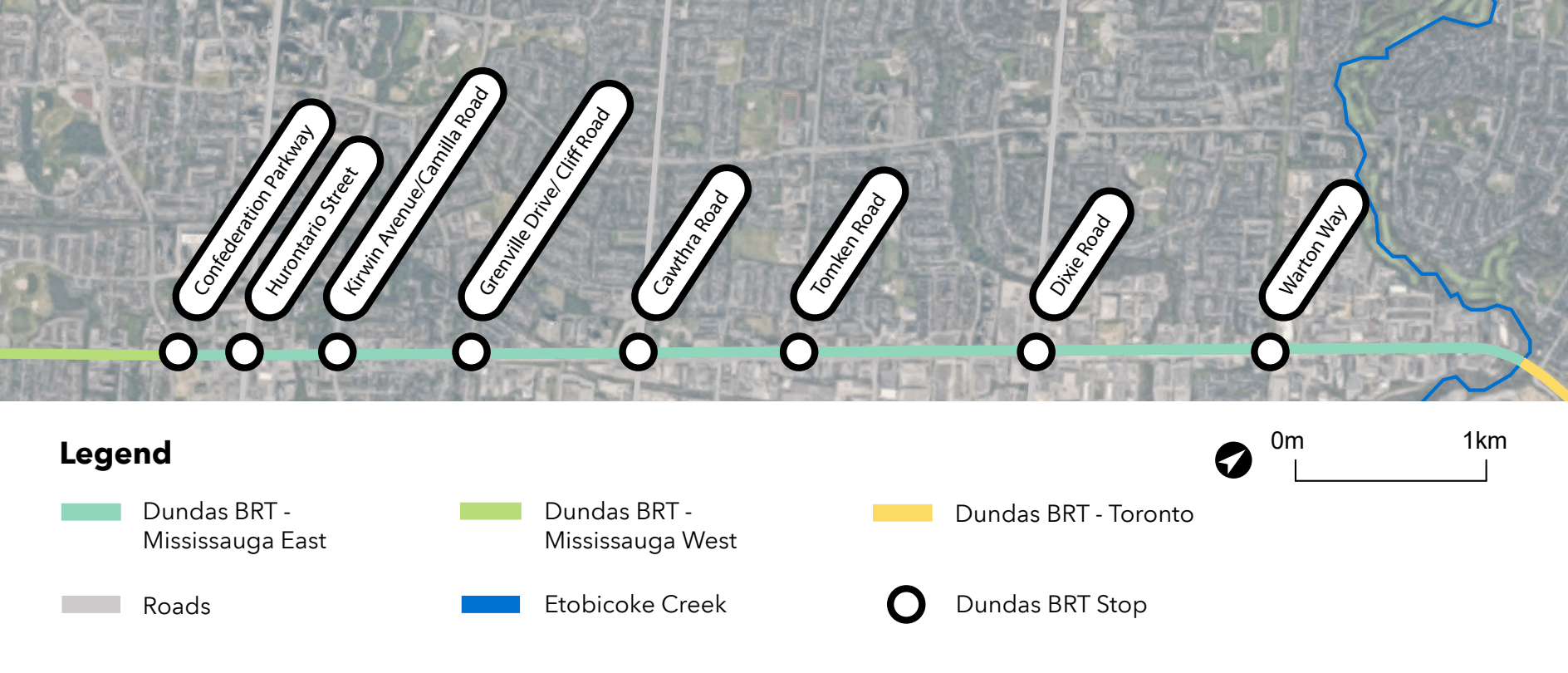
- Mississauga East Preliminary Design
Dundas BRT Mississauga East map
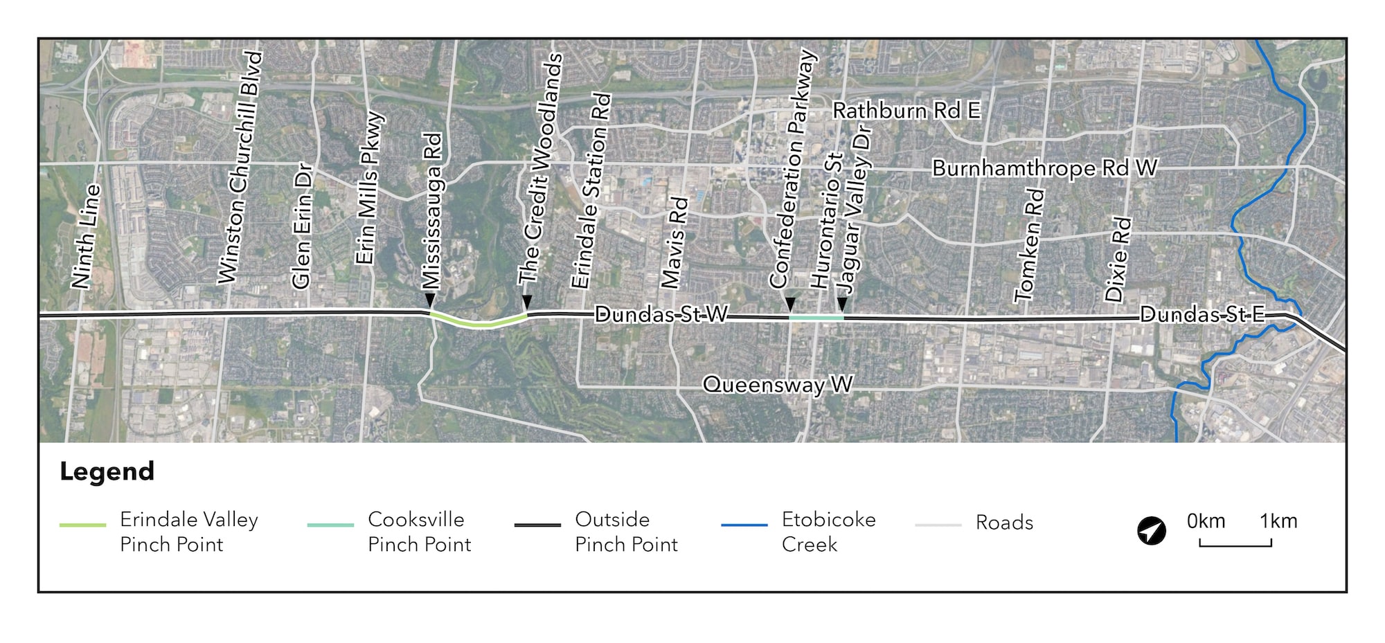
Dundas BRT Mississauga East preliminary design
Mississauga East – Etobicoke Creek to Confederation Parkway
The preliminary design process bridges the gap between the design concept and detailed design of a project. This includes:
- List of infrastructure alternatives.
- Evaluation and identification of the best performing preliminary design alternatives.
- Progression of concept designs for typical median and curbside stops, including amenities.
- Identification of stop locations.